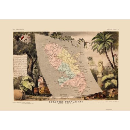
Old Caribbean Map - Martinique - Levasseur 1850 - This is an exquisite full-color Reproduction printed on high-quality gloss paper, art paper or canvas.
Print Size: 23.00 x 32.70 inches
The following towns are featured: the island of Martinique with good detail throughout. The map is surrounded by fully colored steel engravings, showing the lush tropical vegetation and important products of the colony.
This Map is Situated in: Caribbean Sea.
SKU: ITMA0016
Original Maps are often difficult to find and usually have fold lines, identifying stamps or markings, tears, ragged edges, and assorted other natural signs of age that detract from their beauty. All of our maps have been professionally restored to depict their original beauty, while keeping all historical data intact.
These maps are fabulous pieces of history full of information useful to Historians, Genealogists, Cartographers, Relic Hunters, & Others. They make fascinating conversation pieces and splendid works of art for the home or office.
Shipping: Your artwork is rolled for shipping

| Features | Giclee Printing |
| Brand | Maps of the Past |
| Color | Steel |
| Home Decor Style | Vintage |
| Theme | Historic Maps |
0 comments:
Post a Comment